
LA BATLESSADE LLOSETA
L'AJUNTAMENT INFORMA

09-Juny-2026
El Consell d’Infància de Lloseta, present al Parlament Infantil de les Illes Balears
El passat 20 de novembre, coincidint amb el Dia Mundial de la Infància, més de 50 infants i adolescents de les Illes Balears varen participar en el XIV Parlament Infantil, organitzat per UNICEF.

03-Juny-2026
Lloseta dona visibilitat al seu teixit associatiu amb la nova Guia d’Entitats
La publicació recull les associacions i col·lectius actius del municipi i s’emmarca dins el projecte Lloseta Associativa 2026.

01-Juny-2026
El pròxim dimarts 9 de juny, Lloseta acollirà una nova jornada de donació de sang.
Un petit gest que pot marcar una gran diferència i ajudar a salvar vides.

01-Juny-2026
L’Ajuntament de Lloseta posa en marxa el programa “SOIB Jove: Qualificats
L’Ajuntament de Lloseta posa en marxa el programa “SOIB Jove: Qualificats – Oportunitats d’Ocupació en Entitats Locals 2026-2027”, una iniciativa destinada a fomentar la inserció laboral de persones joves qualificades.

XXV Fira de sa Sabata i Artesania
Teatre deLloseta
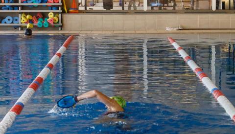
Piscina i gimnàsmunicipal
Desenvolupamentlocal
AGENDA

12-Juny-2026